


France, 18th Century, Fine Art Reproduction MP012
Details
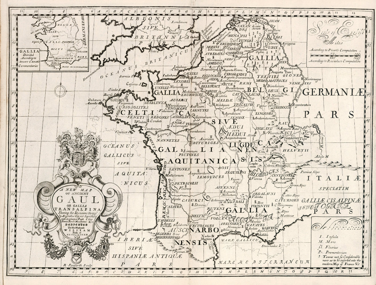
This beautiful 18th-century map of ancient France, by cartographer Edward Wells, will bring nostalgic flavor to your home decor. This map was originally printed in 1700 as "A new map of ancient Gaul or Gallia Transalpina." My fine art reproduction is printed in archival inks on Epson ultra-premium luster paper for lasting beauty.
Sizes
Map art prints are available in five different sizes: 8 x 10 inches, A4 (8.3 x 11.7 inches), 11 x 14 inches, A3 (11.7 x 16.5 inches), and 16 x 20 inches. They are shipped flat in a rigid mailer, except for the 16 x 20 inch size, which is rolled in a tube. Your art print arrives ready to frame and hang on your wall!
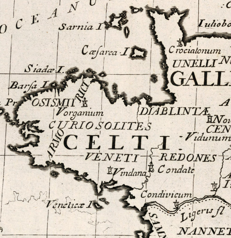
Larger prints offer better legibility of the map labels and text than smaller prints. In addition, the different length-to-width ratios of the various sizes of prints offered here result in slightly different crops of the artwork: An A3 print will look slightly different than a 16 x 20 inch print.
Please note
This is a reproduction of a map that is hundreds of years old, and the image shows discoloration, foxing, and occasionally other damage to the original paper. The borders of the map may not be perfectly rectangular or parallel with each other. These add to the charm and antique appearance of your print.
To see all of our archival fine art reproductions of Renaissance maps, please visit the shop section: https://arteofthebooke.com/collections/historical-maps-from-the-renaissance